Smart Snow Monitoring

Retrieval of information about the snow cover using automatic processing of time-lapse images

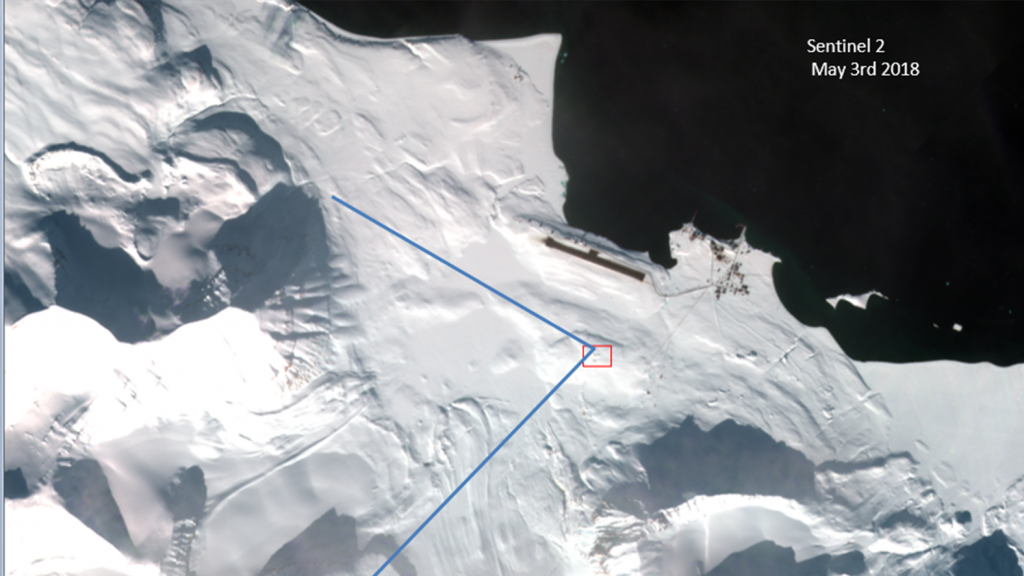
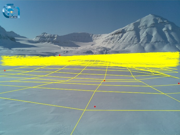
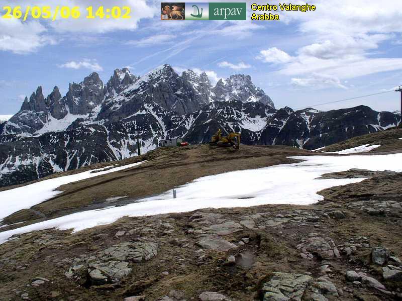
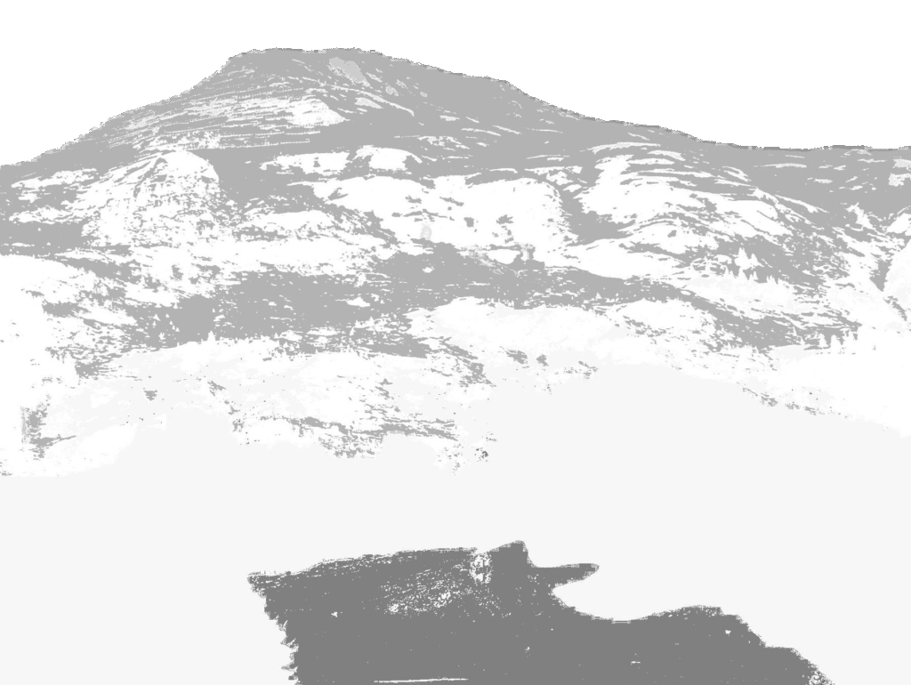
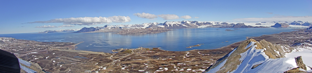
Terrestrial photography is a methodology aimed on observing continuously the surface reducing as much as possible the gaps existing between satellite observations and the fieldwork. This approach has been developed for detecting changes in Arctic, Antarctic and Alpine environments where time and spatial gaps occur. Our activities are focused on estimating the occurrence of snow cover in selected areas and on producing ground-truth datasets for Cal/Val activities of different satellite platforms (MODIS, Landsat, Sentinel).

Projected grid over an oblique view (Svalbard, Norway).
Oblique view in a Alpine study site (Veneto, Italy).

The main purpose of this activity is the integration between satellite images and terrestrial observations. This task is a key approach for bypassing limitations associated with the cloud cover and with the revisiting time of satellites. Having continuous and independent observations about the snow cover, even if limited in terms of spatial extent, it is possible to describe the evolution of the snow cover in remote areas. Time-series focused on the snow cover are key data sources useful for training and validating climate models.

Our activities are focused on developing algorithms that can support the analysis on our own time-lapse cameras and on image datasets provided by synergies with other institutions. The primary target is to describe the snow cover at different spatial scales and with different geometric setups (oblique or vertical oriented cameras). The frontier is the implementation of additional tools capable to extract information about the cloud cover, the vegetation phenology and the state of water bodies.

Example of snow cover classification in an oblique view.
Webcam views from the Zeppelin mountain (Svalbard, Norway).

Research projects details

Facility

Niveos 2020 – Graphic & Web Design by Heap Design